Rain chances reach 40 percent Saturday afternoon as temperatures hit upper 70s
Scattered showers may disrupt Halloween activities in Central Alabama, while Sunday brings a band of light to moderate rainfall.
By Emma Foster ·
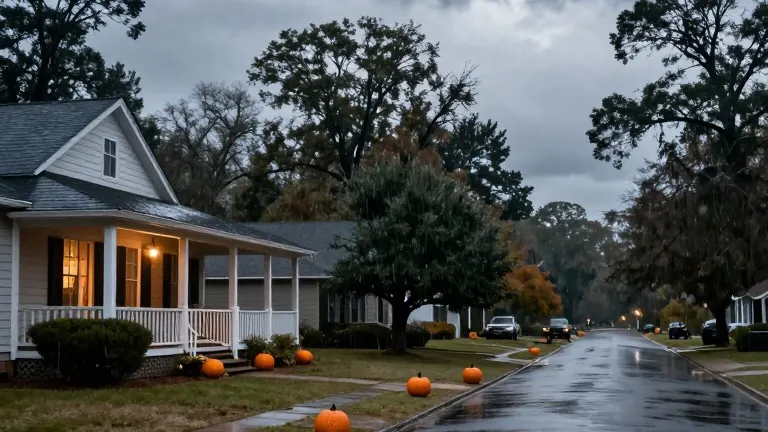
Rain probabilities for Saturday afternoon in Central Alabama will likely climb to 30 to 40 percent. This increase in precipitation odds follows a morning that is currently cloudy and dry. Most residents in the region are experiencing temperatures in the upper 50s and lower 60s due to this cloud cover.
The Magic City Classic Parade is scheduled for Saturday morning. Conditions during this event are expected to remain cloudy and mostly dry. Temperatures should hold steady in the 60s until 10 a.m. By early afternoon, warmth is expected to push readings into the low to mid-70s.
Winds will come from the east-southeast at speeds of five to 10 mph. Gusts may reach 20 mph during these hours. A brief sprinkle is possible before noon, though isolated showers are more likely as the day moves into early afternoon. The Magic City Classic football game may see light and brief rain, so carrying a poncho is advised. Lightning and thunder are not anticipated in this weather pattern.
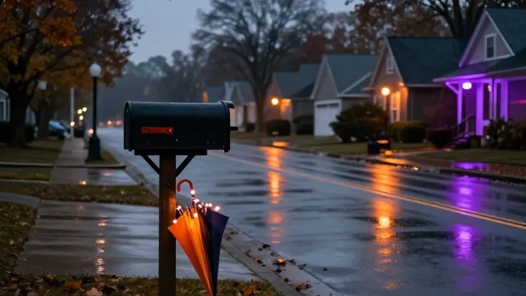
Halloween evening carries a greater risk of wet weather. Scattered showers cannot be ruled out, with the chance of precipitation increasing toward the midnight hour. Temperatures will likely drop into the 60s by 7 to 8 p.m. Rainfall this evening will be spotty and light. Rain chances will rise in west Alabama after 9 p.m.
Daylight Saving Time ends early Sunday morning. Residents will gain an extra hour of sleep as clocks fall back. Sunrise is set for 6:06 a.m. and sunset for 4:55 p.m. The weekend provides a suitable window to replace smoke detector batteries and begin winterizing homes.
The best opportunity for much-needed rainfall occurs from tonight into the first half of Sunday. A band of showers will likely push from west to east. Light to moderate rainfall is possible between 5 a.m. and 2 p.m. Coverage will become spotty by late afternoon and evening. Sunday will remain cloudy and cooler, with high temperatures potentially only reaching the mid-60s. Easterly winds may blow at five to 15 mph at times.
Rainy weather is expected to exit central Alabama early Monday morning. Monday and Tuesday should remain dry with partly to mostly cloudy skies. Temperatures will warm into the mid-70s. Overnight lows will stay in the upper 50s and lower 60s. The next storm system is forecast to arrive by the middle of next week. A band of rain and embedded thunderstorms may move in on Wednesday morning and afternoon. The chance of severe weather remains low at this point. Wednesday will likely be cloudy with scattered showers and storms. Temperatures will warm into the mid-70s. Conditions may dry out by Thursday afternoon. No significant frost or freeze is expected over the next seven to ten days.
The wet weather should hold off until Tuesday night, allowing for dry conditions during voting hours.
Source: WBRC FOX6 · original report published
More News · Birmingham news · Report a business · Got a Story?