Rain Arrives Overnight, Mid 60s Set for Nov. 1
A band of showers moves from west to east across West Alabama after 9 pm, with heavier rain possible northwest of I-59/20 by early Sunday.
By Alejandro Ruiz ·
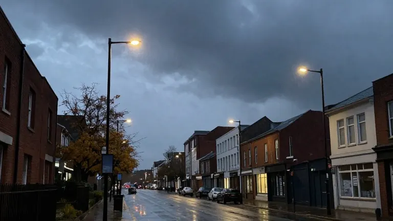
Rain is set to move into Central Alabama overnight, with showers spreading from west to east across the region after 9 pm. The system will continue through Sunday morning before becoming more scattered during the day.
Halloween evening in Birmingham and surrounding counties stayed cloudy with a few spotty showers. Temperatures were expected to drop into the 60s under mostly cloudy skies. Rain chances increased later in the evening, particularly across West Alabama after 9 pm.
By early Sunday, heavier rain could develop northwest of I-59/20. Most of the precipitation will fall as rain, though a few rumbles of thunder cannot be ruled out. Widespread rain is expected through the morning and early afternoon before transitioning to scattered activity later in the day. Highs Sunday will reach only the mid 60s under cloudy skies. Daylight Saving Time ends at 2 am Sunday, when clocks should be set back one hour.
Monday and Tuesday are expected to remain mostly dry with continued cloud cover. Highs will return to the mid 70s with overnight lows in the 50s and 60s. Rain chances return by Wednesday as the next weather system brings showers and thunderstorms across the Southeast. The severe weather threat appears low, though some stronger storms cannot be ruled out. Questions remain about available instability when the system arrives, and heavy rainfall could become a concern in some locations. Timing and impacts will be refined as Wednesday approaches.
The forecast does not show significant issues for those heading out to vote on Election Day Tuesday.
Source: WBRC FOX6 · original report published
More News · Birmingham news · Report a business · Got a Story?