Birmingham residents advised to carry rain gear for Halloween and Sunday morning showers
A band of light to moderate rain is expected to move through central Alabama from Sunday 5 a.m. to 2 p.m., following a wet start to the weekend.
By Emma Foster ·
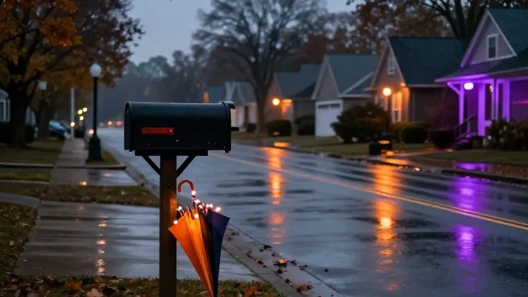
Forecasters recommend that residents in central Alabama keep rain gear close on Halloween evening and Sunday morning. A weather band is expected to move from west to east, bringing light to moderate rainfall between 5 a.m. and 2 p.m. on Sunday.
The day began with cloudy skies and spotty light showers in parts of west Alabama. Temperatures warmed into the lower 70s shortly before noon on Friday. The afternoon brought mostly cloudy to overcast skies with highs in the mid and upper 70s. Winds blew from the east-southeast at five to 10 mph, with gusts reaching 20 mph.
The chance of rain increased to 30 to 40 percent during the afternoon. Any precipitation remained light and brief. No lightning or thunder was recorded during this period. Temperatures cooled into the lower 70s by the end of the Magic City Classic football game. Sunset occurred at 5:56 p.m.
Evening conditions for trick-or-treating called for scattered showers. The likelihood of wet weather increased toward the midnight hour. Temperatures dropped into the 60s by 7 to 8 p.m. Rain in west Alabama became more frequent after 9 p.m.
Daylight Saving Time ended early Sunday morning. Residents gained an extra hour of sleep as clocks were turned back. The new schedule set the sunrise time for 6:06 a.m. and the sunset time for 4:55 p.m. Meteorologists suggested using the weekend to replace smoke detector batteries and begin winterizing homes.
Sunday weather remained cloudy and cooler than the previous day. High temperatures reached only the mid 60s. Easterly winds blew at five to 15 mph, creating a breezy environment. Rain chances became spotty by the late afternoon and evening.
Rainy weather is expected to move out of central Alabama early Monday morning. Monday and Tuesday will likely stay dry with partly to mostly cloudy skies. Temperatures will warm into the mid 70s. Overnight lows will range from the upper 50s to the lower 60s.
The wet weather is not expected to interfere with Tuesday voting. The next storm system is forecast to arrive Tuesday night. A band of rain and embedded thunderstorms will move into the area Wednesday morning and afternoon. Scattered showers and storms are likely on Wednesday. Temperatures will warm into the mid 70s. The chance of severe weather remains low. No significant frost or freeze is expected in the next seven to ten days.
Source: WBRC FOX6 · original report published
More News · Birmingham news · Report a business · Got a Story?